
Search the Columbia Street Directory
For a named Columbia street, begin at one physical address and build outward only after the parcel is clear. Boone County records make ownership and land history easier to test than residency. The Assessor supplies the current tax-roll connection, GIS shows the mapped parcel, and the Recorder connects legal transfers. A known voter can be checked through the Clerk's name-and-date-of-birth tool, but that tool is not a street-wide roster. Historical reverse directories add a separate dated household clue. That record sequence keeps each result in the system that created it.
- Enter the address in the Boone Assessor report and save the situs, parcel number, legal description, owner, and mailing address as separate facts.
- Open the same parcel in the Boone GIS viewer, use Identify, and compare the parcel lines with nearby addresses or a historical aerial.
- Find the acquisition deed through the Recorder's grantee index and match the legal description, rather than relying on a similar street address.
- Search the seller as an earlier grantee to extend the deed chain, recording the book, page, instrument, and date at each transfer.
- For a past household, use an address or reverse-directory entry and then confirm the name in its alphabetical entry or another independent record.
Note: A street result is strongest when its source, date, and parcel relationship are recorded beside the name.
Columbia Assessor Street Fields
The Boone Assessor Address Search is the practical first stop for a Columbia street directory search. It separates street name from house number, suffix, and direction. Those fields allow a broad street-name query or a tighter physical-address query. The related owner-name and parcel tabs are useful after a report is found. The result is a taxable-property clue, not a statement that every person connected to the address lives there.
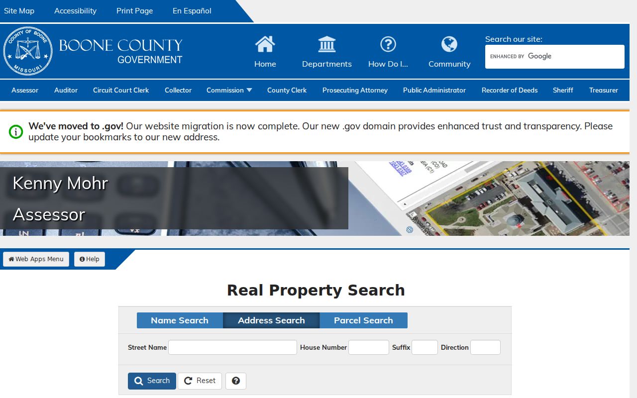
The separated address fields in the captured Assessor search help distinguish a street segment from one situs. They also make directional and suffix variations worth checking before treating a missing result as final.
| Columbia search field | Entry type | Street use |
|---|---|---|
| Street Name | Optional text | Search a street name, including a partial form where appropriate. |
| House Number | Optional text | Narrows a result to one physical situs. |
| Suffix | Optional text | Separates otherwise similar address forms. |
| Direction | Optional text | Tests the directional form printed in the record. |
| Parcel Number | Five-part parcel entry | Bridges an address result to the mapped land record. |
The Assessor permits partial parcel entry and separates owner, address, and parcel modes. Save the printed spelling and use the parcel number or legal description for later Recorder work, since street forms can change.
Keep the physical situs and the mailing address in separate notes. Boone's Collector says tax bills go to the mailing address in the tax file, and that address can remain in a prior owner's name until an update is made. It may be another Columbia address, another Missouri city, or an out-of-state contact. The address search is therefore a strong parcel starting point, but the street directory should not turn a tax-mailing result into an occupancy claim.
Columbia GIS Street Context
Boone's Assessor Parcel Information Viewer searches by owner, address, or parcel number. It also supports pan and zoom, an Identify tool, parcel boundaries, aerial imagery, terrain, and a mobile Data tab. Use the map to see which polygon belongs to the address, then click individual parcels rather than assuming a nearby line is the same property. Parcel linework changes often, and the viewer asks users to verify it in the field.
The CityView layer inventory adds Columbia zoning, wards, utilities, annexation, school, watershed, and taxing-district context. Those layers explain a parcel's civic setting. They do not name utility customers or create a household list.
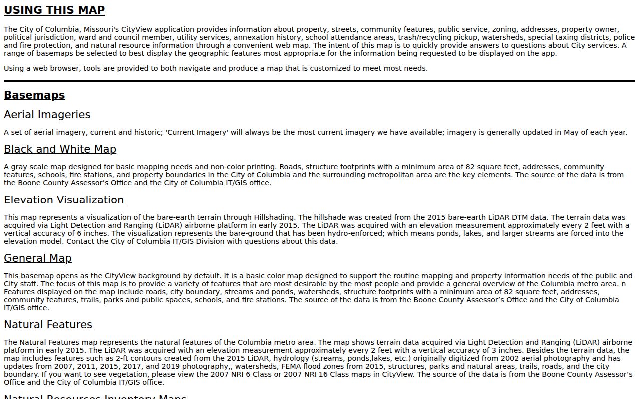
CityView is most useful after the county parcel is identified. Its layers can help separate an address inside Columbia limits from one with a Columbia mailing identity but different jurisdictional context.
Boone's viewer offers aerials from 2023, 2019, 2015, 2011, 2007, and 2002, plus county historical aerials reaching 1939. Aerials can support a building or parcel comparison, but they do not establish who occupied the property.
Columbia Street Deed Trail
Use the Boone Assessor Parcel Search to retain the parcel key, then take that result to the Boone Recorder online services. The Recorder's name search works through grantor and grantee directions, while an instrument search uses book and page. Find the current owner as a grantee around the acquisition date, confirm the legal description in the deed, and then search the seller as an earlier grantee. The same lot, block, or legal description matters more than a matching surname.
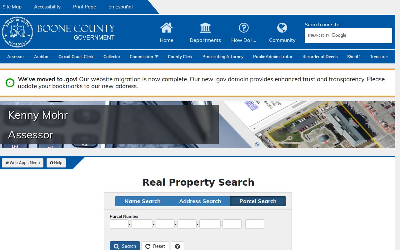
The parcel-search view supplies the land-record bridge before a deed search begins. A parcel identifier is a geographic and assessment key, not a substitute for the recorded legal description.
- Parcel
- A county assessment and map identifier tied to a defined piece of land.
- Situs address
- The physical location of the parcel, which can differ from the address used for mail.
- Plat
- A recorded map that can show a subdivision, lot, block, or boundary relationship.
- Criss-cross directory
- An address-first directory that can point from a street location to a dated household entry.
The Recorder's real-estate filing requirements show why party names, return addresses, and legal descriptions belong in a parcel trail. A recorded instrument connects land to a transaction, but its mailing details do not establish who occupied the property.
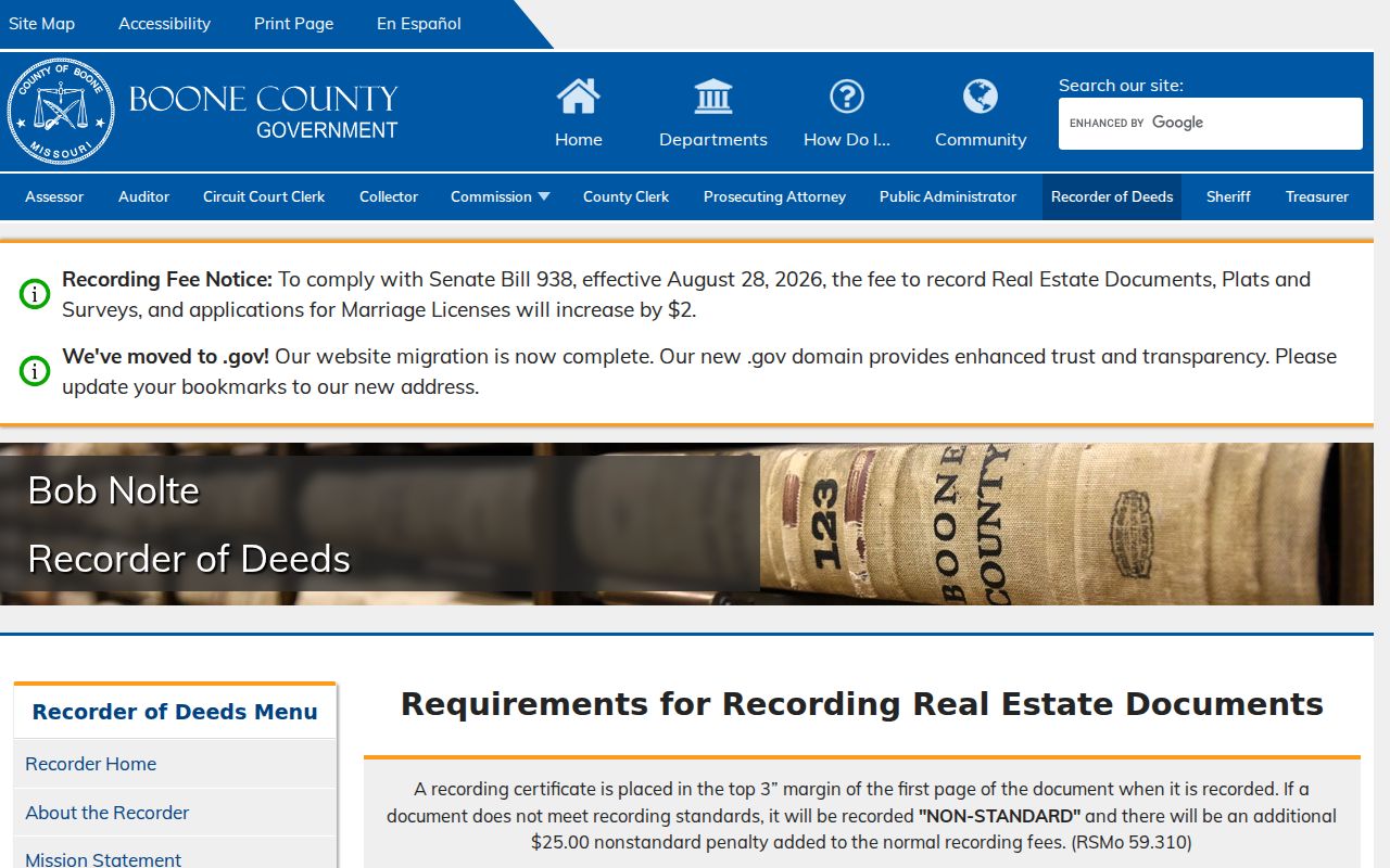
The filing capture reinforces the need to retain an instrument's book or page citation and legal-land language. Those details make it possible to distinguish a transfer on the same street from a similar but unrelated address.
Recorder images for real estate are online from 1965 forward. The handwritten index reaches 1821 through 1965, while older document images generally need a subscription or public-terminal access. That split matters whenever a Columbia street directory trail moves beyond the modern image collection.
Boone's historical index uses direct and indirect directions. For older surnames, its instructions use the first letter for A through F and the first letter plus a vowel for names from G onward, with Smith searched as SI. Search both parties, spelling variants, spouses, trustees, estates, and corporate forms when a transfer seems to disappear. The Recorder allows a result to be bookmarked by book and page, which is the detail needed for office, phone, mail, or copy-request follow-up when an image is unavailable online.
Columbia Permit Records by Address
The City's public permit data search is an address-keyed companion to the county land record. Its documented result fields include permit number, issue date, square feet, value, description, ward, zone, parcel, and address. Start and end date plus work-class filters can narrow a result. A permit can date construction, an addition, demolition, utility work, or land disturbance, yet it does not identify every occupant or prove that an applicant still lives nearby.
For code-enforcement history, the documented route is the Community Dashboard Enforcement tab. A current standalone search address was not located in the research. When a specific address and date are known, a request to Neighborhood Services or the City's records hub is the appropriate fallback. Missouri's Sunshine Law governs requests to public custodians, with records separated or redacted when an exemption applies.
Note: Permit dates describe work on land or a structure, not a complete timeline of people at the address.
Columbia Street Names and Limits
Street wording can outlast a boundary or name change. Columbia's annexation history runs from incorporation through additions listed to 2022, and CityView's annexation layer helps compare an older address with current municipal context. A documented local example is Rice Road, renamed Geyser Boulevard through the Planning and Zoning and City Council process. No comprehensive official renumbering table was located, so a failed historical search should prompt a check of the former name, directional abbreviation, lot and block, and legal description.
Columbia's 1889 Sanborn Sheet 3 labels Walnut, Broadway, Cherry, Locust, and Sixth through Ninth streets. That old map context can test whether a historic street reference belongs to the older core before a modern parcel is assumed to be the same place. The address trail gains useful historical depth when a directory entry, Sanborn footprint, and legal description agree.
For current jurisdiction detail, the City's GIS and maps program points to CityView, historic aerial context, and data-request routes. The county civil-township and road maps supply another check when a street runs toward unincorporated Boone County. A city mailing name, ward, ZIP, and parcel jurisdiction can diverge, especially around annexation areas, so each should be tested in the map layer that owns it.
Confirm Columbia Voter Records
The Boone County Clerk Registered Voter Search is a confirmation tool for a known person, not a Columbia street directory. It uses a search type, last name, optional first name, and date of birth. The Clerk's instructions allow a first-name narrowing approach, but the public result should be treated as registration context, not a broad street list. Missouri law permits certain computerized voter information subject to election-authority rules and protected-address provisions.
A name match can help separate two people with the same surname when it agrees with independent parcel or directory evidence. It cannot establish every person at an address. The public tool has no unrestricted all-voters-on-this-street mode, and a full voter-file request is a separate process with the Clerk. Safe at Home participants and other protected voters can have residential addresses closed or substituted.
Columbia Reverse Street Directories
For an earlier address, Daniel Boone Regional Library's Historic Yearbooks & Directories Guide documents physical Columbia city and telephone directory holdings, not a complete digitized run. Search the address or reverse section first, then turn to the alphabetical entry to preserve the exact name, occupation, relationship notation, and printed street form. Publisher abbreviations change, so read the edition's key before treating a letter as an owner or household status.
Those volumes are the historical household layer, while the county portals are the current property layer. The full collection dates and publisher runs belong with the Columbia city directory collections. For a Columbia street query, the useful task is testing an old address against a dated person or telephone entry.
Note: A directory is an issue-time snapshot, so preserve its year, publisher, page, and spelling with every address finding.
Columbia Street Directory Records
These Columbia records are keyed differently and should not be blended into one claim. The Assessor and GIS tie an address to a parcel. The Recorder supplies legal transfer parties. City permit data describes work, and the Collector records a tax-file relationship. The Clerk's public voter tool can confirm a known person with identifying details, but it is not available as an unrestricted address list.
The Boone County Collector real-estate tax search is useful when a tax-bill or delinquency clue is needed. Its billing address is the destination in the county tax file and can remain in a prior owner's name until records are updated.
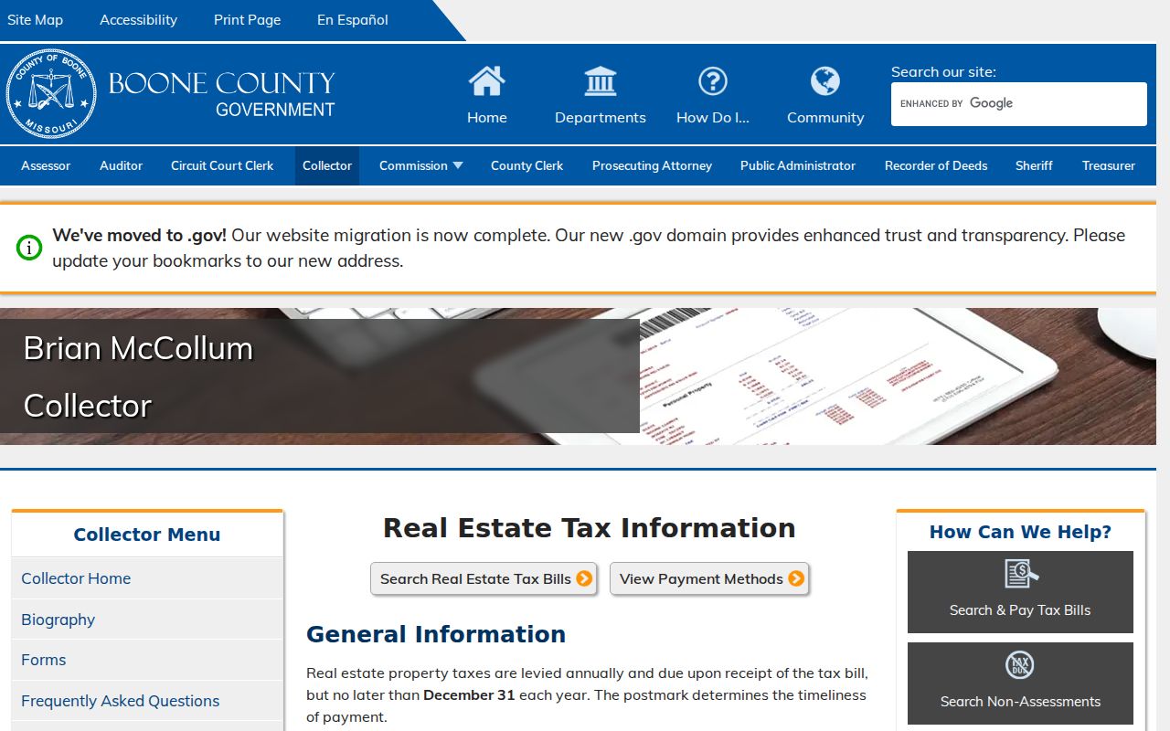
The tax-search capture reinforces why mailing and situs addresses must be kept apart. A tax-file address can locate a notice recipient without establishing residency at the property.
Annual delinquent tax certificate listings are another Collector record, with the owner of record, parcel, legal description, amount or minimum bid, and sale information. They are a tax-status clue only. A sale listing does not establish the people at a Columbia address, and its information should be checked against the dated parcel and Recorder records.
| Columbia address record | Custodian | Useful field or evidence | Access route |
|---|---|---|---|
| Assessor report | Boone Assessor | Owner, parcel, mailing and situs relationship | Free name, address, or parcel search |
| Parcel map | Boone Assessor GIS | Geometry, Identify results, aerials, terrain | Free viewer with changing linework |
| Recorded deed | Boone Recorder | Parties, date, book/page, legal description | 1965-present images; older index and terminal routes |
| Permit record | City of Columbia | Work, date, parcel, ward, zone, address | Public data search with date and work-class filters |
| Tax bill or sale list | Boone Collector | Owner, parcel, legal description, tax status | Online search or office assistance |
Columbia Street Directory Limits
A Columbia street directory cannot provide a complete household roll. Property records do not list every person connected to a location. A deed documents legal parties, not occupancy. The Boone voter tool needs a name and date of birth for confirmation, and protected records can use closed or substitute addresses. Utility customer lists and motor-vehicle address data are not public resident tools. A map of adjacent parcels also does not show social relationships.
Lawful use. Columbia address records are for personal, lawful research, property history, family history, and civic curiosity. Do not use a record to stalk, harass, intimidate, or harm anyone.
When a source is missing, contact the actual custodian with the address, date range, and record type. A no-match can reflect a former street name, a protected address, a gap in the record series, or the need to search Boone County rather than city limits.