
Columbia Neighbors by Parcel
The public-record trail for Columbia neighbors is geographic. The parcel map identifies land around a subject address. The Assessor report can show an owner, mailing address, situs, and parcel information. Recorder transfers add a dated legal history. CityView and permit data add civic and built-environment context. Each source answers a narrow question. None identifies every person connected with a home, and a parcel owner is not automatically the person who occupies the site.
| Source | What it shows about a block | Access |
|---|---|---|
| Boone GIS | Touching parcel polygons, parcel ID, owner identify, and aerial or terrain context | Free map search, pan, zoom, and Identify tool |
| Boone Assessor | Owner, mailing and situs fields, parcel, value, and classification where shown | Free name, address, and parcel reports |
| Boone Recorder | Transfer parties, legal description, instrument, date, and book or page | Index route; online real-estate images from 1965 |
| Precinct and ward maps | Shared civic boundary and local geography | County map links and PDFs |
| Neighborhood associations | Association name, mapped context, status, and contact route | City civic layer, not a member directory |
Start with the exact address and note the map date. Parcel lines and ownership information change. The record trail is strongest when it keeps the source name, field name, and inspection date beside each fact. That approach separates a land relationship from an assumption about an occupant.
Read Columbia Neighbor Geometry
The Boone County Assessor Parcel Information Viewer can search by owner, address, or parcel number. It also supports pan and zoom, aerial and terrain context, and an Identify tool. Zoom until the subject parcel and every touching polygon can be seen. A parcel across a road, creek, railroad, or irregular boundary may be close on screen without being a side or rear neighbor. Condominiums, association land, public tracts, and storm-detention areas can also appear as non-household polygons.
The official parcel viewer is the starting screen for a nearby-block map.
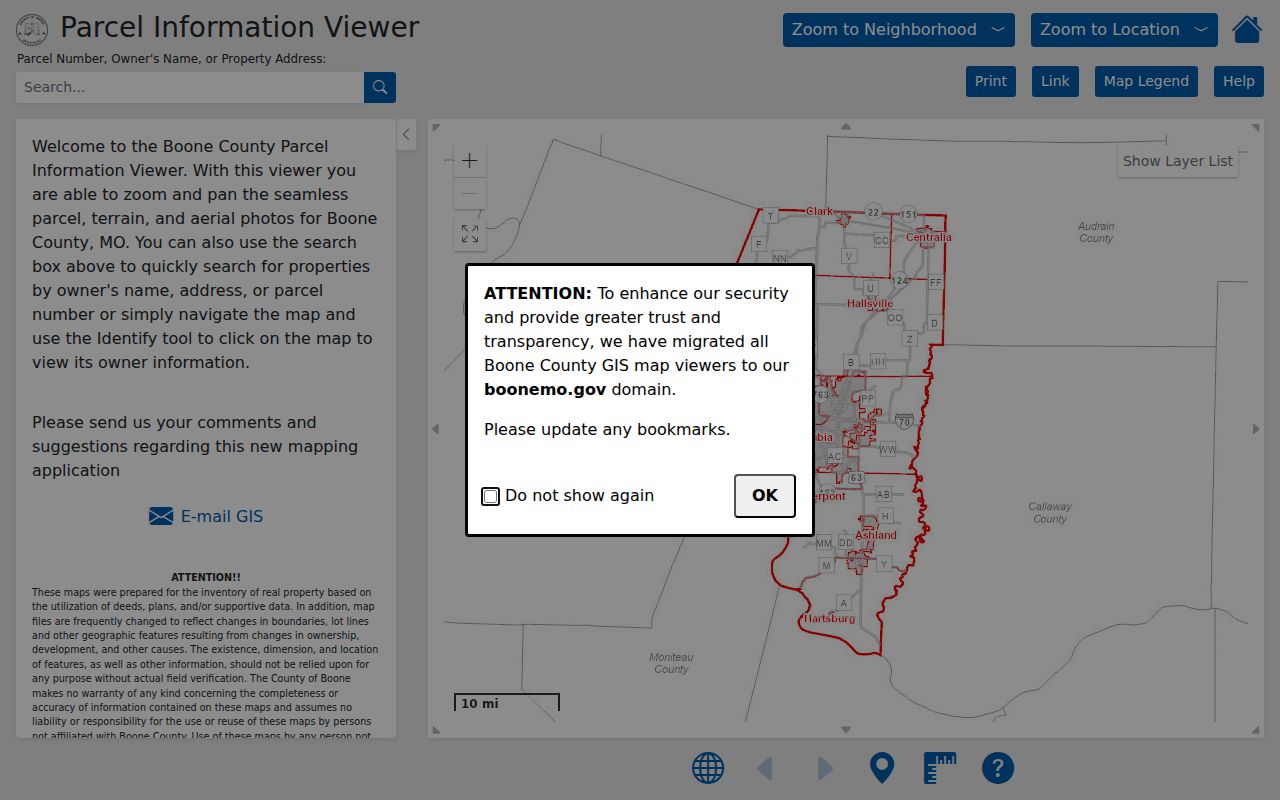
Use aerial context and parcel shape before describing land as adjacent. The viewer carries current parcel geometry and historic aerial choices, while its disclaimer notes that linework can change and should be verified when precision matters.
Map a Columbia Neighbor Block
Use a short, repeatable flow for the immediate block. It starts at a physical address and ends with separately documented parcel records. The method is not a social map. It avoids turning a nearby parcel into a claim about relationships or a claim that a recorded owner lives there.
- Search the subject address in Boone GIS and use Identify on the subject polygon. Record its parcel number, legal-description context, and map date.
- Click each polygon that actually touches the subject parcel. Separate side, rear, shared-area, and across-road parcels in the notes.
- Open the Assessor report for each selected parcel and keep the owner, situs, and mailing fields distinct.
- When a dated transfer matters, use the Recorder index to compare the legal description and the parties on the deed.
The flow is address to parcel, parcel to owner field, then owner field to a dated transfer when needed. For a full named-street chain rather than the immediate block, use the Columbia street directory and its address-by-address record method.
Note: A legal description identifies land and a recorded transfer, but it does not establish who knows whom or who currently occupies a nearby address.
Compare Columbia Neighbor Fields
The Boone Assessor Address Search separates street name, house number, suffix, and direction. Its parcel result is useful for the current tax-roll relationship. A situs address is the physical parcel location. A mailing address is where the county sends a tax notice. Those fields can differ, and the record owner can be a trust, estate, public body, business, or a person who is elsewhere. Do not substitute either field for a verified occupant name.
The Assessor's viewer guide documents the parcel map, aerial history, and update cautions used while comparing nearby parcels.
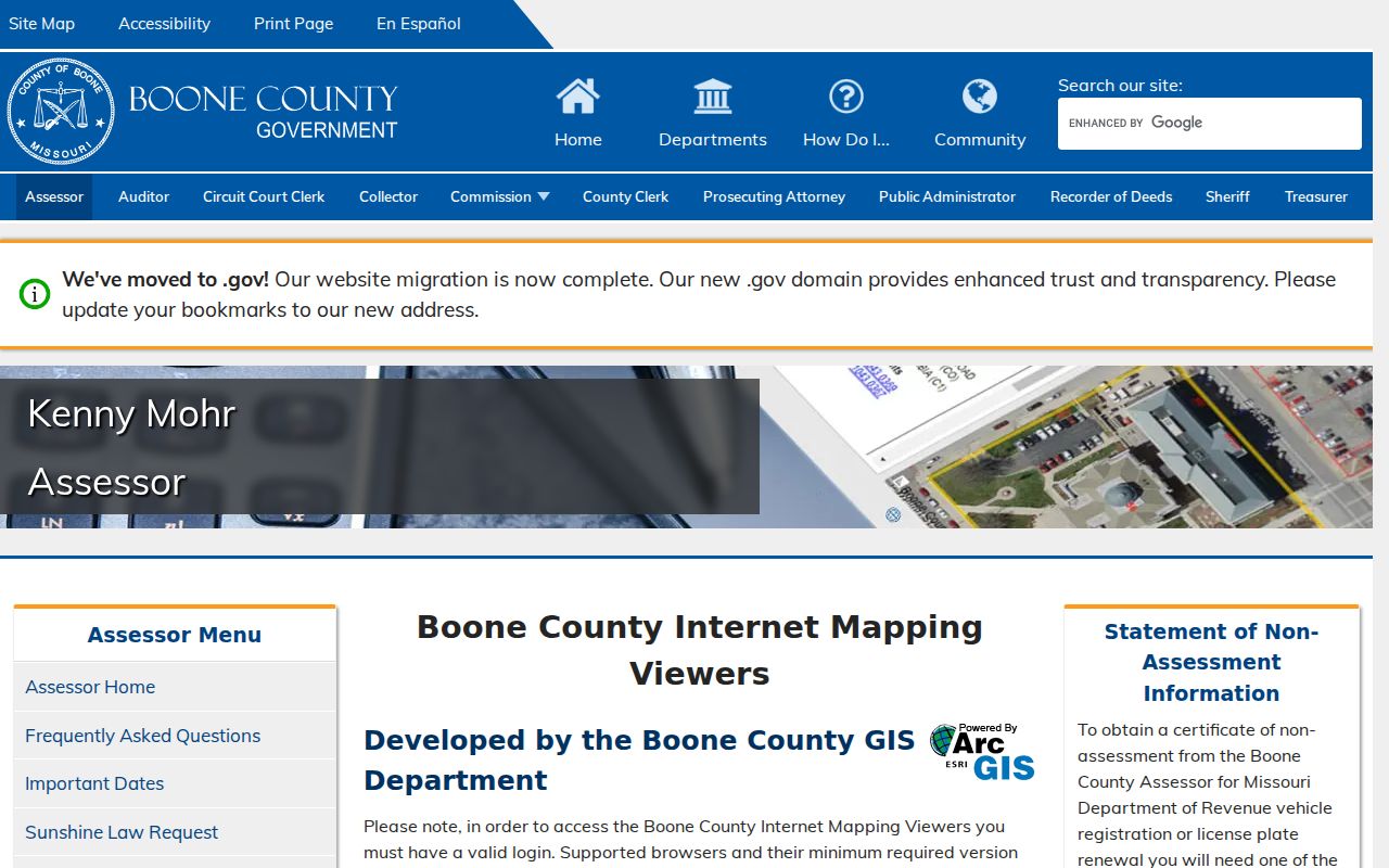
Next, compare a parcel with a Boone Recorder transfer. Search the acquisition deed, then confirm the same lot, block, subdivision, or legal description. The Recorder index reaches to 1821, with handwritten index images from 1821 through 1965. Online real-estate images begin in 1965, and earlier document images can require a subscription or a public terminal.
Columbia Voter Limits for Neighbors
Missouri RSMo 115.157 permits specified computerized voter information, but the local design matters. The Boone County Clerk's Registered Voter Search asks for a person, using a name and date-of-birth confirmation path. It is not an online search for everyone on a block. A known person's possible registration match can be checked within the Clerk's rules. It should not be used to create a street list.
A lawful voter-file request is separate from the public lookup. Ask the Clerk in writing about the requested precinct or election, available fields, fees, delivery process, and protected-address suppression. The public research did not locate a current Boone full-file form or fee schedule, so those details should not be assumed. Protected voters and Safe at Home participants can have residential addresses closed or substituted.
For shared civic context, the Clerk's maps identify precincts, wards, roads, and townships. They describe a boundary, not a list of people on the block.
Note: A known-name voter match can support identity work, but it is not a lawful substitute for a public block roster.
Columbia Neighbor Association Context
City Neighborhood Services supplies a community layer that is useful after the parcel work is done. The City describes its program as support for organization, Neighborhood Watch, and Engaged Neighbor routes. Its dated April 16, 2025 contact and status inventory is more current than the older map, but it is not a household-membership directory. Association names, status, and contact routes help place a block in civic context without identifying private members.
| East Campus | Listed in the City inventory. East Campus Traditional is a separate, nested-area context, so the map and dated list should be checked together. |
|---|---|
| Historic Old Southwest | Listed association area that gives neighborhood context, not a roster of residents. |
| East Walnut | Shown as inactive in the April 16, 2025 City inventory. |
| Downtown Columbia Leadership Council | A civic umbrella with 15 members, including two nonvoting positions, and at least two recognized association representatives. |
The City neighborhood organization program explains the civic route behind those listings.
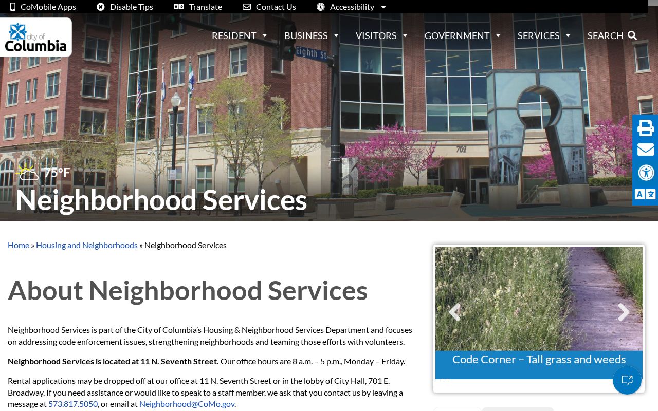
The dated contact inventory should be treated as a status and contact layer. Areas can overlap or nest, and older figures for mapped or active associations are not membership counts. A current association name is not evidence that any particular person lives within it.
Columbia Neighbor Civic Layers
Columbia's map context can explain why adjacent land does not share the same civic label. CityView adds zoning, ward, annexation, school, utility-service, watershed, and taxing-district layers to the County parcel map. These layers locate a parcel within public systems. They do not reveal private account holders or a household list. City boundary and association context can also change over time, so preserve the layer and date used for a block search.
Annexation adds another boundary check. The City's history reaches 67.776 square miles by 2022, and a proposed 1.68-acre Rock Quarry addition was still pending for a September 2026 hearing. A Columbia mailing label, association area, and city-limit status can therefore describe the same parcel differently. Use the parcel and CityView layers together before assigning a civic label to the block.
The City's priority-neighborhood snow process is another civic layer. It names participating associations such as East Pointe, Bay Hills, Cedar Lake, Copperstone, Heritage Estates/Woods, and others. Participation shows a City service context, not membership or occupancy.
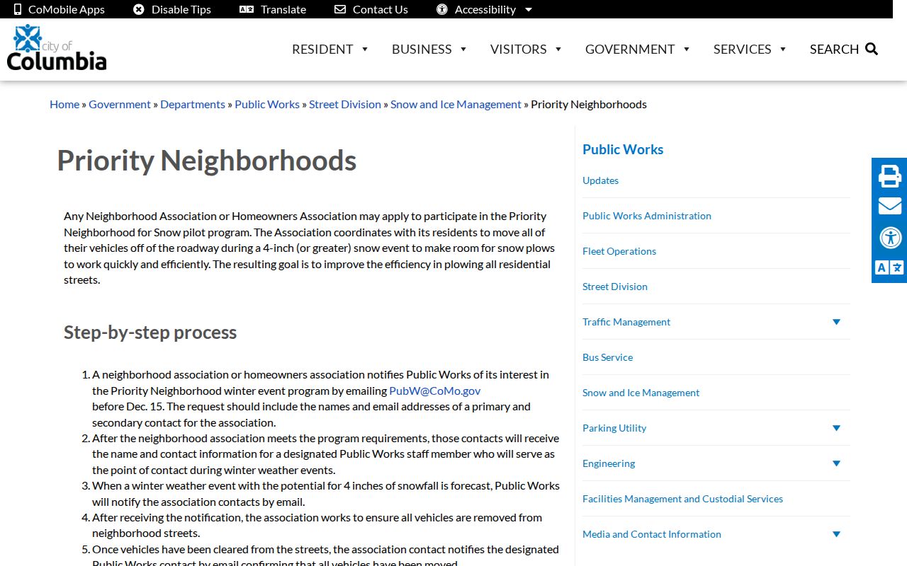
Use civic layers to understand the block's geography. For land ownership, return to the parcel, Assessor, and Recorder fields that identify the record's actual subject.
Note: A civic boundary can place a parcel in an association or service area without identifying the people associated with that address.
Privacy Limits for Columbia Neighbors
A neighbor search cannot fill every gap. Private utility and delivery records, motor-vehicle addresses, protected voter addresses, Safe at Home residences, sealed court participants, and private association or club rosters are not public block data. A property record may show a legal owner, but it does not identify every person at that location. When an official source has a correction or protection process, contact that custodian rather than trying to reconstruct restricted information from other records.
| Official local source | Generic commercial neighbor tool |
|---|---|
| Names the record type, custodian, field label, and date, with a direct route to the original record. | Can merge public filings with marketing data into a profile that may be stale, incomplete, or mixed with another person. |
| Shows the limits of a parcel, voter confirmation, deed, or civic map. | Does not replace the parcel map or custodian record and should not be treated as proof of a current household. |
The Missouri Safe at Home program offers a substitute address and mail forwarding for eligible survivors. Its protections are a reason not to push past a missing address. Missouri's stalking law also makes clear that public records are not permission to follow, monitor, observe, threaten, or intimidate another person.
Lawful use. Use Columbia neighbor records for family property history, civic context, or another specific lawful purpose. Do not use an address trail to watch, harass, stalk, or intimidate anyone.